
CAPLA Student-Faculty Team Uses GIS to Create Digital Atlas and Award-Winning Poster of Historical Buddhist Sites in Hangzhou, China
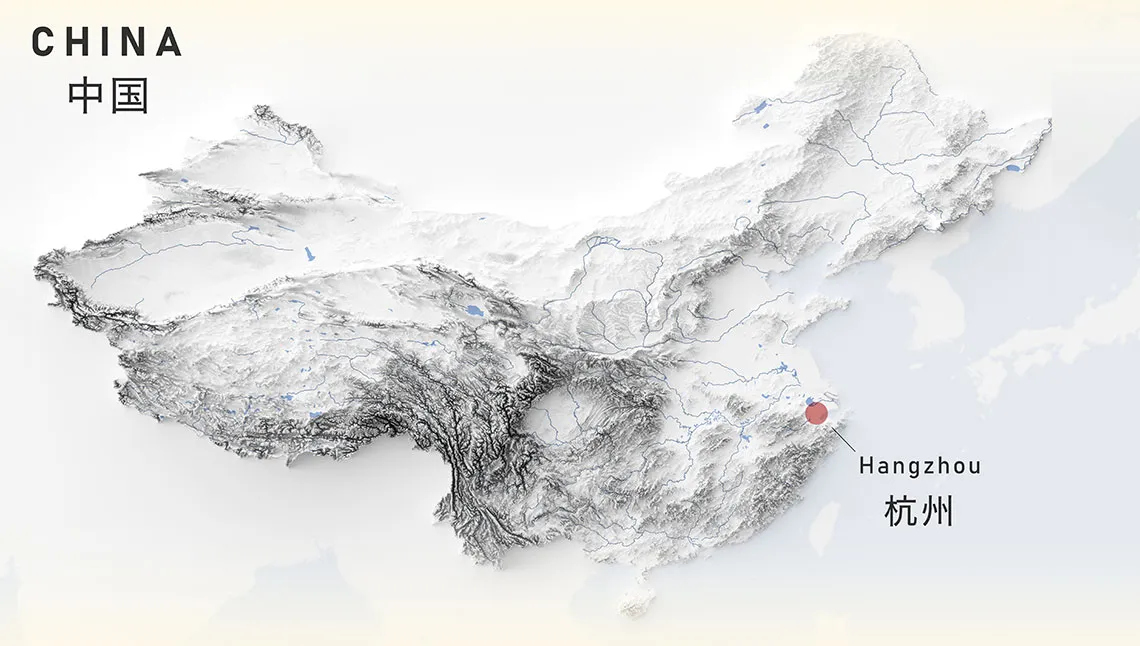
Image courtesy Glenn Ingram.
This spring, University of Arizona Master of Science in Urban Planning student Glenn Ingram, recent Master of Landscape Architecture graduate Mattea Wallace and Associate Professor Philip Stoker, working with UArizona East Asian Studies Professor Jiang Wu, created the “Regional Religious Systems in Hangzhou China” story map using advanced geographical information systems (GIS).
This fall, Ingram condensed the interactive story map into a poster that took first place in the Pacific Neighborhood Consortium 2022 Annual Conference Poster Competition. Ingram received the award after his in-person presentation at the international conference, which was held September 16-18 in Tucson.
The students assisted Wu and Stoker in creating the story map as part of Wu’s Regional Religious Systems (RRS) project, a project of the Center for Buddhist Studies in the UArizona College of Humanities. The RRS seeks to “provide a new perspective to the ‘old question’ of regionalism and localism in Chinese history, thus initiating a renewed research program of historical GIS and spatial analysis for achieving a more complete consideration of the role of religion in terms of regional formation,” says Wu.
The team’s goal was to create a “digital atlas” of existing maps, data and literature of Hangzhou, China from 618 AD to 2022 through the use of visualizations based on a longitudinal dataset of a sample of historical Buddhist sites and pilgrimage routes compared to satellite imagery of the landscape today.
The winning poster demonstrates elements of this visualization, including a map of China, historic pilgrimage routes, template locations and how city walls have changed locations over time.
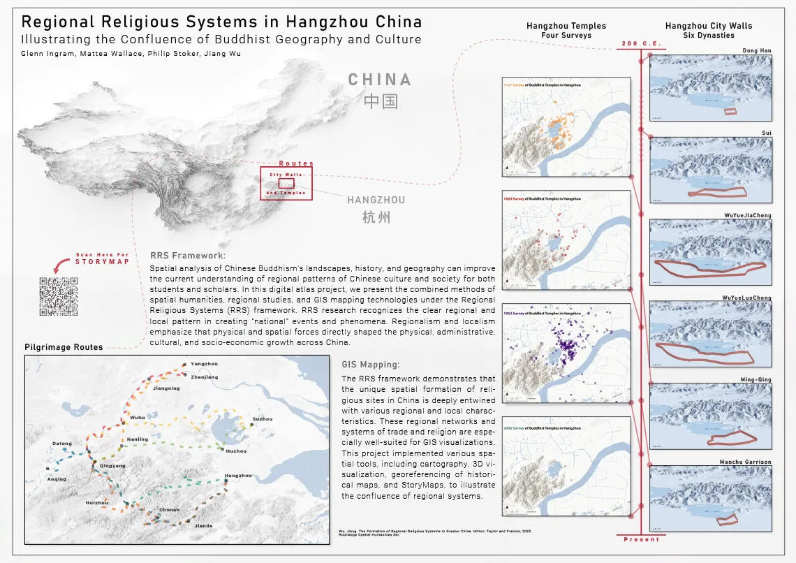
“Regional Religious Systems in Hangzhou China” poster by Glenn Ingram.
“This new visualization of RRS data shows how the spatial extent of religious sites in China is entwined with regional and local characteristics,” says Ingram. “The regional networks and systems of trade are ideal for GIS visualizations. The poster creation used various spatial tools, including cartography, 3D visualization and georeferencing of historical maps to illustrate the confluence of regional systems.”
The poster was selected based on a number of criteria, including main theme and research methodology (originality and creativity, clear and appropriate methods and clearly stated background and objectives), conclusion and contribution (conclusions supported by data and level of project difficulty) and poster production (flow that is easy to follow and interpret, and succinct tables, figures and written results).
Funding to support the work of Ingram and Wallace on this project was provided by a CAPLA Grassroots Research Seed Grant awarded to Stoker.
View the “Regional Religious Systems in Hangzhou China” story map upon which the poster is based.
Learn more about the College of Architecture, Planning and Landscape Architecture’s Master of Science in Urban Planning program, or help CAPLA students continue to excel in competitions and other academic pursuits by making a gift to the college to support scholarships, the Planning program or other endeavors.


