
Ghana Digitized Its Address System: Its Failure Offers Lessons to Other African Countries Creating Smart Cities
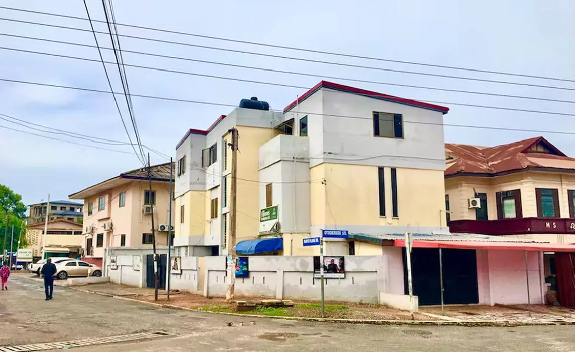
Property address has long been a problem in Ghana. Photo courtesy Wikimedia Commons.
By Louis Kusi Frimpong, University of Environment and Sustainable Development, Matthew Abunyewah, Charles Darwin University, Seth Asare Okyere, University of Arizona and Stephen Kofi Diko, University of Memphis
Smart urbanism is about using digital technologies to address urban problems. Across the continent, digital technologies and smart initiatives have been applied in myriad ways, including crime control, urban planning and traffic management.
It hasn’t always worked, however. Sometimes these initiatives have failed because the technologies weren’t well integrated into the local context. Or policies didn’t pay attention to social realities and technical requirements.
Ghana presents one such example. The country launched a smart initiative in 2017: a digital system to give every urban property an address. It’s a phone-based application which is designed to locate features anywhere in Ghana. The address is presented in alpha-numeric format (such as EY-0329-2478) and shows details such as the region and the metropolitan, municipal and district authority. It also shows the street name of the feature (a house or church, for example) and displays its coordinates.
Individuals can generate their own address and sometimes officials visit a property, generate the digital address for that property and supply the occupants with a tag, or physical label, to affix to the property.
The system was designed to provide digital addresses for properties, which could then be used for service delivery, access to services and facilitate commercial transactions. It was also intended to overcome challenges with using the old address system. This consisted of numbers (for sections of streets) and letters (for streets). It had no coordinate system and was never digitized.
Cities need address systems that make it possible to provide location-based services.
We conducted a study to understand whether residents were using the new “smart” system. By this we wanted to explore how useful the digital addresses were to residents in their everyday routines.
We found that there was indeed a gap between design and reality. Uptake was low and people were frustrated with the system.
This happens when design features don’t take account of factors specific to a certain context. This can include the digital culture of the residents and disparities in access to the internet. A combination of these factors often trips up digitalization programs and initiatives in African cities.
Our findings show that digitalization initiatives in Ghana need to take these into account if they’re going to succeed. They also need to include the engagement of people who will use the services to understand their expectations.
A Digital Address System
The government introduced the digital property address system with the expectation of improving navigation of built-up spaces via basic landmarks like shops, drains and roads.
Better navigation was intended to improve access to essential services and waste management. The system was supposed to make it easy to identify properties despite the informal, unplanned and unmapped nature of much of the urban environment.
There have been a number of snags in the implementation of the digital property address system.
Firstly, decisions were taken from the office of the vice president and implemented at local governing units. There was little input from local people, which resulted in poor understanding from the residents and apathy towards the initiative.
Secondly, there were hitches in the way it was rolled out. At first, Ghana Post provided the address tags at a fee to residents. The next phase saw a team from the office of the vice president doing the tagging at no cost to residents. The first tags had only the digital address without features like street name and house number. They now have all the features.
The consequence of this is the display of different digital addresses for residents’ houses. This matters because the tag provided to residents is now a requirement for various public service agencies such as the passport office, telecommunication companies and the National Identification Authority.
What We Found
We conducted our study in three suburban communities of Accra, Ghana’s capital city. We examined the factors influencing the use of the system. We chose representatives of households based on their interest in taking part in the study, and we had 999 respondents in total.
We found that individual and contextual factors shaped the use of the system in Accra.
First, there was a difference between building owners and tenants. About 68% of residents who owned properties were likely to use the digital property addressing system, and only 32% of renters.
Second, socioeconomic attributes such as income, internet data cost and education level were also key determinants. Residents with low-level education and lower income were least likely to use the system. Within this group, we found this was largely about perceptions of the benefits and challenges of using a digital technology.
The issue of trust came up among the people we interviewed. Perceptions about inefficiencies in government initiatives and irregularities in past digital initiatives meant that people didn’t trust the new system.
The perception was that the system was set up as part of a political agenda rather than to meet a developmental need. It was viewed as being imposed by the presidency without engagement, transparency and accountability. There wasn’t real ownership from the users’ perspective.
Overall, we found that about 62% of residents and even public agencies were not using it in their daily operations.
Conclusion
Our findings suggest that policymakers need to be smart about their smart urbanism agenda. We call for attention to the basics:
- Affordable and accessible internet infrastructure
- Multi-stakeholder engagement
- Transparency and efficiency in the design and implementation of urban digital initiatives.
It is only in getting the priorities right and adapting to contextual realities that the potential of digitalization initiatives for sustainable and equitable urban development will be realized.
.
Louis Kusi Frimpong, Lecturer, University of Environment and Sustainable Development ; Matthew Abunyewah, Lecturer, Charles Darwin University and Adjunct Senior Lecturer, The University of Newcastle, Charles Darwin University; Seth Asare Okyere, Visiting Assistant Professor, University of Arizona, and Stephen Kofi Diko, Assistant Professor, University of Memphis
This article is republished from The Conversation under a Creative Commons license. Read the original article.


